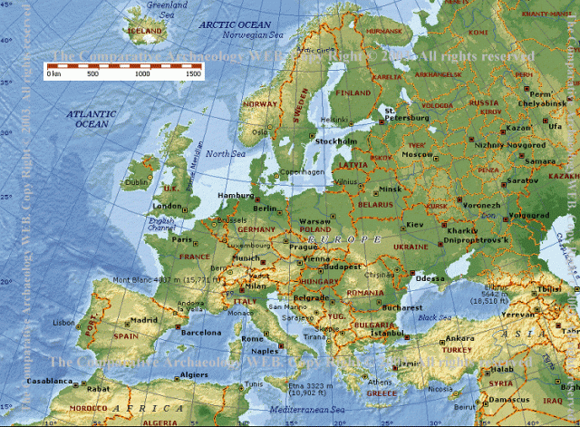
Source of the photo
http://www.comp-archaeology.org/EuropeMapCAWEB.gif&imgrefurl=http://www.comp-archaeology.org/GrigMegtUrals.htm&usg
Author of the description
JD
A fenti képen Európa domborzati térképe látható, az országhatárokkal.
