Source of the photo
EUROPEAN ATLAS OF SOIL BIODIVERSITY, JRC, European Comission, 2010
Author of the description
Gruiz Katalin
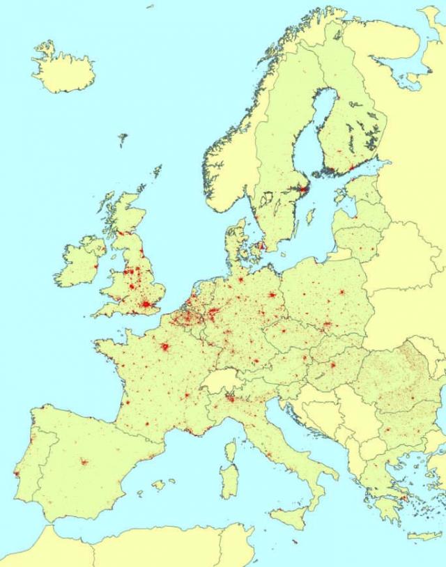
The map shows the artificial areas, including urban areas, highways, railways, airports and industrial and
commercial districts.
The map was produced using CORINE data; Land cover provided by EEA (European Environmnetal Agency) for the year 2000.
Source of description
EUROPEAN ATLAS OF SOIL BIODIVERSITY, JRC, European Comission, 2010
